


Description
The need to represent general or specific aspects of the terrestrial surface has plagued man since ancient times.
Scholars have been able to create quite a vast bibliography which documents the research for more useful, practical and precise systems in which the terrain could then be geometrically represented on various materials (such as leather, wood, papyrus, paper). However, the same cannot be said regarding the concepts and methods for the graphic representation on any type of paper, meaning for the actual mapmaking technique.
The preparation of maps for many centuries was a personal task of men who dedicated themselves, whether for passion or for a particular preparation and attitude, to producing and designing the maps using their own methods and exploiting the systems used for production and printing that were available to them. Due to new mapmaking needs, such as those for reproducing equipment together with
the need for a faster and more precise printing, eventually forced the individual to become a group worker. The mapmaking technique remained, however, that of a closed circle of people who used the individual expertise of a chosen number of experts and therefore were not preoccupied with the thought of spreading the systems and norms so that they could obtain more and more valid results. Nevertheless, today we can observe the works of ancient masters and appreciate their technical and artistic differences so that the works may each have a classification worthy of merit and method for a given historical period.
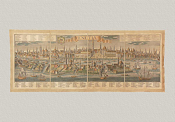
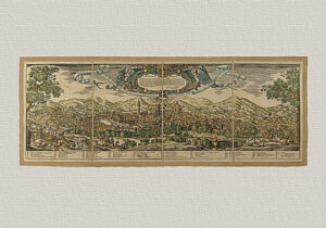
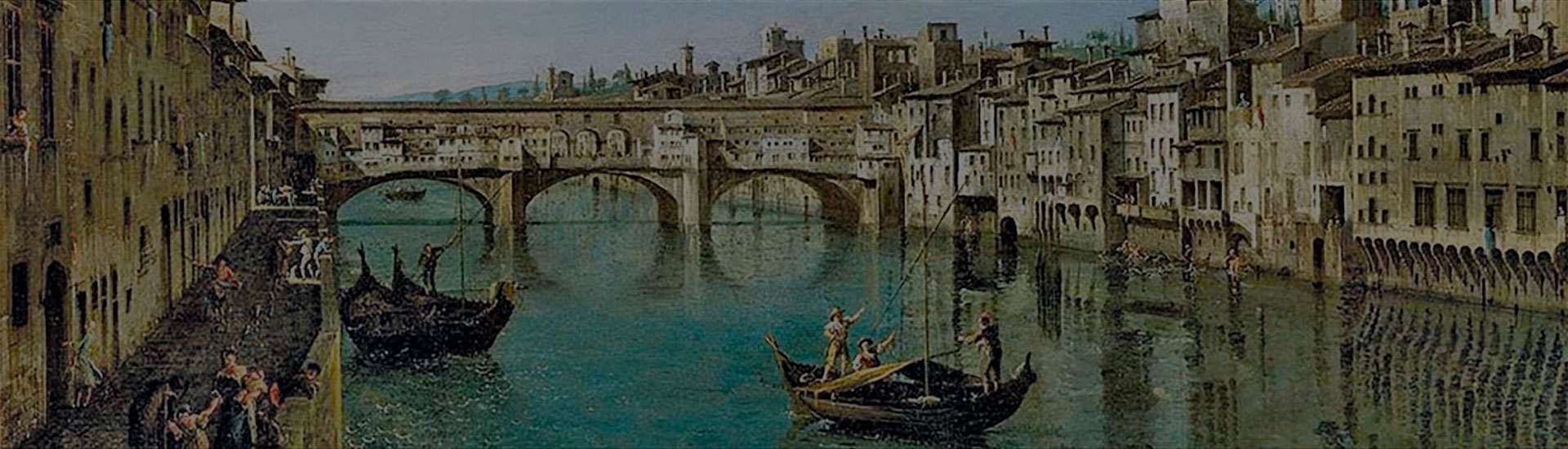
This work representing Catania was done by an unknown artist during the 17th century and is undoubtedly one of the most beautiful cartographic representations from an artistic point of view. It is seen from a bird’s eye view and it leaves us astounded. It is rich in detail and the entire work is harmonious making this aerial view truly unique. It was probably printed in 1600 and today we bring it to you using the same technique, materials and instruments used by the publishing house belonging to Pierre Mortier in Amsterdam. These include a manual press, finely engraved plates and pure cotton paper. The paper is then mounted on cotton canvas reflecting the frequently used working procedure employed in the past because it was (and is) necessary to obtain the best preservation possible as well as to insure an easy shipping of the maps. Only the aging process, obviously, is an operation that our anonymous author would not have needed to use. This is done with a process of only natural substances. Finally, the watercoloring gives the work a polychrome vision of indubitable scenic effect. All this work is done in order to produce an object capable of bringing back the piece’s beauty and historical and cultural value of the original, employing the same materials and technique used so long ago.